These are pittoresques little villages in the mountains 30’ north of Kyoto. It is so nice and so close to Kyoto that it is maybe better to avoid the touristic season – which we did… Both towns are well known for their temples. Also these villages are on the Kyoto Trail. First half of the green part…
We found a wonderful Ryokan (a level up compared to Minshukus, but still Japanese style), so we spent two nights there and did some trekking around. The place would even deserve a longer stay!
Less grand than Kumano Kodō, but still well marked…. which doesn’t stop us from checking the mapview on Ohara valley and mountain chain leading to Mt Hiei (which was recommended to us, but we did not do this time)down on a ridgenot lost, but still good to check where we are on a map.
Mt Suitai, 577m after passing an anti-wildbore fence and a steep climb! more to the west.more unknown flowersto a temple, not many visitors lately… season hasn’t begun yet!back to our Ryokan as the sun was setting down.
did we mention the good food at this Ryokan? friendly table neighbours gladly help us with the miso nabe. they both work for IKEA!
The next day we went for a full day walk, from Ohara to Kurama on a route parallel to the Kyoto Trail. But first in the morning we went for a tour of Ohara, looking for a food store…
… wrong directionwhat do you think of that helmet?!?!
Off for our day walk, we had a detailed map and were confident of our tour.
We soon came to an area which clearly had severely been impacted by last year’s hurricane season!!But it still all started as a pleasant and easy walk…As it reads: Amagatake, 788m
We met workers, loaded like a mule!!We are still “on the map” – as the Finnish saying goes 😉… still just nice to look at where we are and where to go.Moss on that mountain.Onigiri picnic 🧺
Glad to be there and ready for more
Going down we could see from our map two options: one was along a winding mountain road, the other along a stream in the forest. The one along the stream was more direct, i.e. steep downhill, seems less frequently used but also in a valley that looked promising (on the map)
As soon as we got there, there were signs of even more severe damage from last seasons hurricane…It got tricky and trickier!So it all was for the best!
As that part of forest had not been cleared…After a while it cleared and the valley also opened up …More flowersPassing a dump for green cuttings, they were moving it to a higher up place in the forest. We recovered some nice bamboo walking sticks…Hunters ‘ hut, with inochichi skins
We finally reached KuraWe tried to take a bus back… but would have had to wait too lon, so we walked back….Can not complain about lack of indications…Still clearing after last hurricane season
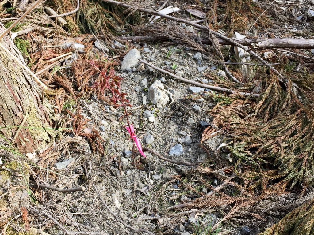
Seeding some Sugi trees after the hurricane.Looking for some specific species, we found a shop preparing some fresh one, …. but not for sale yet! 🙁
Back to our Ryokan just on time for another nabe and quick furo.